



Organized Tree Information for Properties and Projects
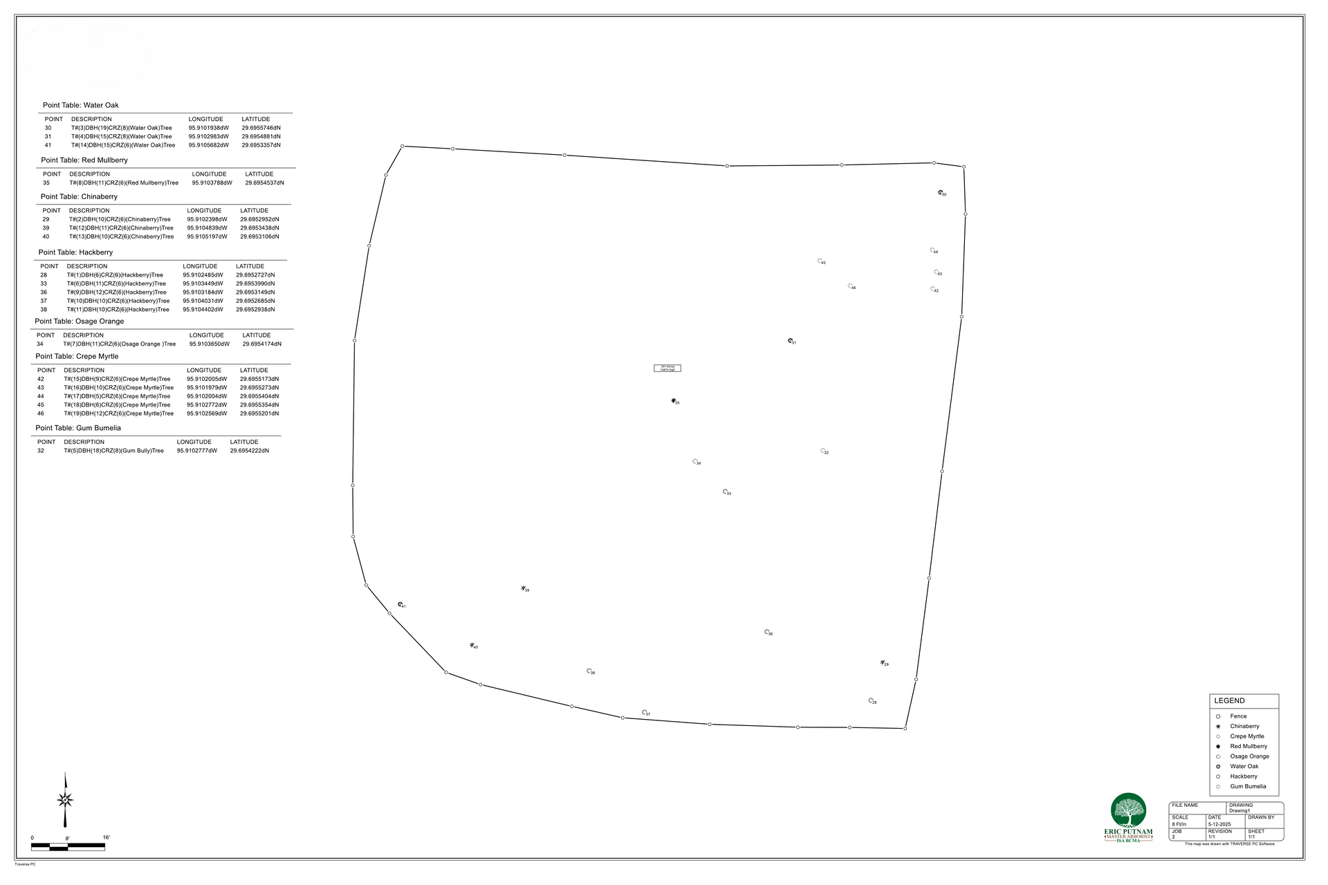
Tree surveying documents the trees located within a defined property or project area. Depending on the approved scope, the collected information may include tree identification numbers, species, trunk measurements, approximate locations, general condition observations, preservation status, photographs, and other requested data. Tree cataloging organizes this information into a practical inventory that may be provided as a spreadsheet, table, marked plan, written summary, or another agreed format.
Eric Putnam BCMA Inc. provides Tree Surveying and Tree Cataloging throughout Greater Houston for property owners, homeowners associations, property managers, developers, builders, architects, project teams, municipalities, and land managers. Every survey is developed around the property, project requirements, intended use, available plans, site access, and the information requested by the client.
Understanding Tree Surveying and Tree Cataloging
When a Tree Survey May Be Appropriate
Tree Surveying and Tree Cataloging may be appropriate for:
- Construction and development planning
- Tree preservation planning
- Municipal review or permitting requirements
- Homeowners association properties
- Commercial property management
- Residential properties with multiple trees
- Landscape renovation projects
- Real estate documentation
- Maintenance and budgeting decisions
- Long-term tree population management
- Documentation before site changes
- Creating or updating an existing tree inventory
- Coordinating tree information with a project team
Tree Surveying Services We Provide
The approved scope may include:
- Reviewing the purpose and requirements of the project
- Defining the property or survey area
- Assigning identification numbers to included trees
- Identifying tree species
- Recording relevant trunk measurements
- Documenting approximate tree locations
- Providing mapping support when included
- Recording general condition observations
- Photographing selected trees or conditions
- Reviewing available plans and project documents
- Organizing tree information into a catalog or inventory
- Preparing the agreed final deliverable
- Providing follow-up clarification when included
Our Tree Surveying Process
Define the Project Scope
We determine why the survey is needed, which property areas and trees are included, what information must be collected, how the information will be used, and what final deliverable is expected.
Review Available Plans and Requirements
When available, we review site plans, boundary surveys, construction documents, municipal criteria, tree preservation requirements, previous inventories, or other project information relevant to the survey.
Conduct the Field Survey
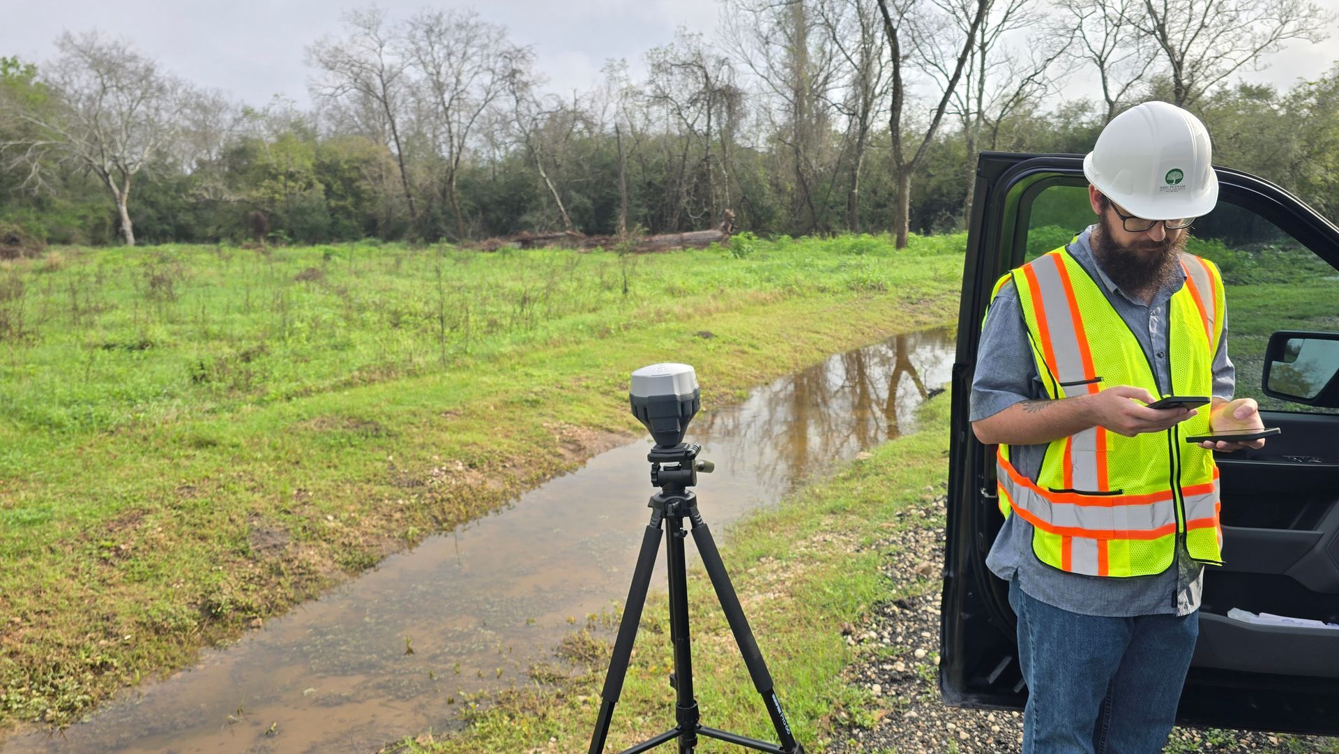
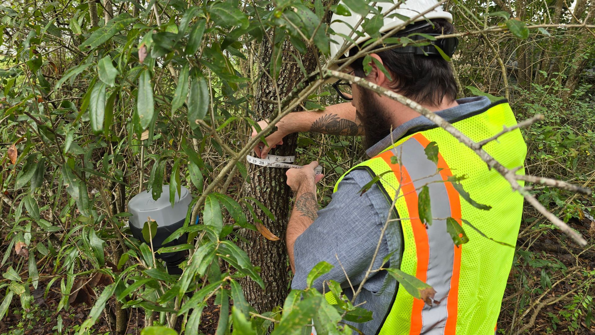
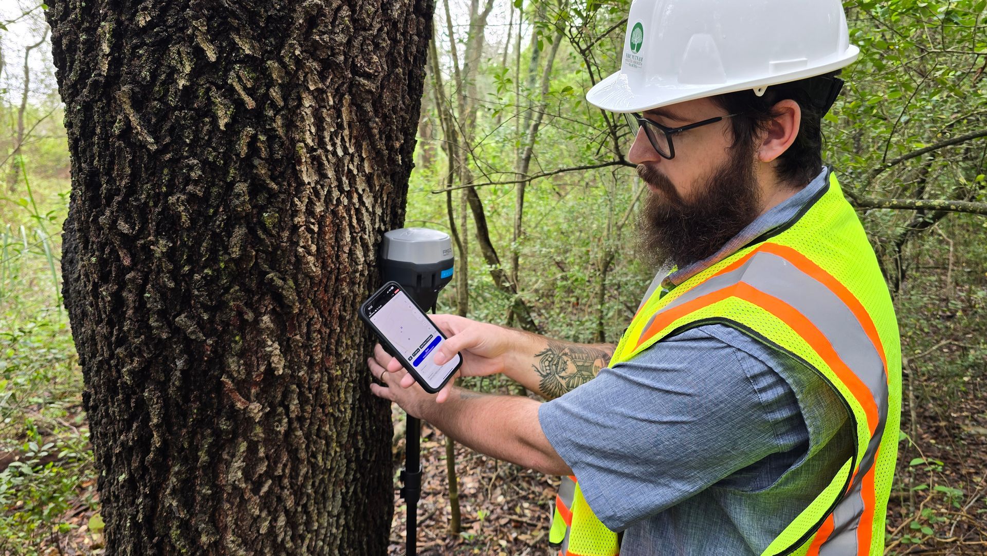
We locate, number, identify, measure, photograph, and document the included trees according to the approved scope and accessible conditions present during the field visit.
Organize and Deliver the Tree Inventory
The collected information is reviewed and organized into the agreed spreadsheet, table, catalog, marked plan, written summary, or other project-specific format.
Do You Already Know Which Tree Evaluation You Need?
Request Tree Surveying and Tree Cataloging when you need multiple trees identified, numbered, measured, located, or organized for a defined property or project. Request an Arborist Report when you need formal written findings, professional opinions, photographs, or recommendations concerning specific trees or conditions.
Tree Diameter Measurements
Tree diameter is commonly recorded as diameter at breast height, abbreviated as DBH. The required measurement method may vary depending on municipal criteria, project requirements, tree form, and the purpose of the survey.
Trees with multiple trunks, low branching, leaning stems, irregular growth, or other unusual forms may require an adjusted measurement method. Project-specific measurement requirements should be provided before fieldwork when the survey is being prepared for a municipality, development, or other outside recipient.
Why Clients Choose Eric Putnam BCMA Inc. for Tree Surveying
Project-Specific Scope
We define the survey area, included trees, required information, available plans, intended use, and final deliverable before collecting field data.
Organized Field Information
Tree numbers, species, measurements, locations, photographs, observations, and supporting information are organized into a practical inventory.
Arborist-Led Documentation
Tree data is collected and reviewed with an understanding of tree identification, biology, condition, structure, site limitations, and preservation considerations.
What Our Customers Say
When it comes to the care of your trees and yard, we understand how important it is to find a tree expert you can trust. Thanks to our personalized and professional approach with our arborist visits and tree consultations, our customers rest easy knowing their tree’s health will always be our top priority. See what some of our clients had to say:
Service Warranty and Disclaimer
View Our Warranty and Disclaimer
Common Questions About Tree Surveys
What information is included in a tree survey?
The included information depends on the approved project scope. Common fields include tree number, species, trunk diameter, approximate location, general condition observations, photographs, preservation status, and project-specific notes.
What is the difference What is the difference between a tree survey and a land survey?an arborist report and a paid consultation?
A tree survey documents tree-related information. A land survey establishes legal boundaries, property lines, easements, and other surveyed features. Tree Surveying and Tree Cataloging does not replace work performed by a licensed land surveyor.
What does DBH mean?
DBH means diameter at breast height. It is a commonly used method for recording tree trunk diameter. The exact measurement procedure may vary for multi-trunked, leaning, low-branching, or unusually formed trees.
Do I need to provide a site plan?
A current site plan is helpful when tree information must be coordinated with construction, development, municipal review, or property planning. The available documents should be reviewed before the project scope is finalized.